Welcome, Kapamilya! We use cookies to improve your browsing experience. Continuing to use this site means you agree to our use of cookies. Tell me more!
'Paeng' intensifies into severe tropical storm; Signal No. 3 up in Bicol
'Paeng' intensifies into severe tropical storm; Signal No. 3 up in Bicol
ABS-CBN News
Published Oct 29, 2022 03:55 AM PHT
|
Updated Oct 29, 2022 09:38 AM PHT
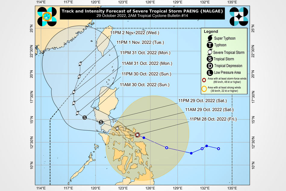
Tropical storm Paeng. US NOAA/Himawari 8
MANILA - Weather disturbance Paeng (international name: Nalgae) has further intensified as it nears Catanduanes, state weather bureau said early Saturday.
In its 2 a.m. weather bulletin, PAGASA said Paeng, now a severe tropical storm, was over the coastal waters of Virac, Catanduanes as of 1 a.m., packing maximum sustained winds of 95 kilometers per hours, with gusts of up to 130 kph.
It is moving west northwest at 30 kph and is expected to make landfall in the vicinity of Albay-Camarines Sur in the next 6 hours.
PAGASA raised Tropical Cyclone Wind Signal No. 3, where storm-force winds are expected in the next 18 hours, over the following areas:
ADVERTISEMENT
Catanduanes
Camarines Norte
Northern portion of Camarines Sur (Ragay, Lupi, Sipocot, Libmanan, Cabusao, Magarao, Calabanga, Tinambac, Siruma, Goa, Tigaon, San Jose, Lagonoy, Garchitorena, Presentacion, Caramoan, Saglay, Ocampo, Pili, Bombon, Naga City, Del Gallego, Canaman, Camaligan, Milaor, Gainza, Pamplona)
Extreme eastern portion of Quezon (Tagkawayan, Guinayangan)
Signal no. 2 was raised in the following areas, where 62 to 88 kph winds are expected in at least 24 hours.
Luzon
Metro Manila
Cavite
Batangas
Laguna
Rizal
Bulacan
Albay
Sorsogon
Masbate including Ticao and Burias Islands
Rest of Camarines Sur
Marinduque
Rest of Quezon including Pollilo Islands
southern portion of Aurora (San Luis, Baler, Dingalan, Maria Aurora)
Central and southern portions of Nueva Ecija (City of Gapan, San Leonardo, Santo Domingo, Rizal, San Isidro, Laur, Zaragoza, Llanera, Aliaga, Palayan City, Gabaldon, General Mamerto Natividad, Cabanatuan City, Quezon, San Antonio, General Tinio, Santa Rosa, Pe, Jaen, Licab, Bongabon, Cabiao, Talavera)
Central and southern portions of Tarlac (La Paz, City of Tarlac, San Jose, Gerona, Mayantoc, Pura, Bamban, Capas, Santa Ignacia, Victoria, Concepcion)
Pampanga
Bataan
Central and southern portions of Zambales (Masinloc, Palauig, Iba, Botolan, Cabangan, San Marcelino, Subic, Olongapo City, Castillejos, San Antonio, San Narciso, San Felipe)
Northern and central portions of Oriental Mindoro (Puerto Galera, San Teodoro, Baco, City of Calapan, Naujan, Victoria, Pola, Socorro, Pinamalayan, Gloria, Bansud, Bongabong, Roxas)
Northern and central portions of Occidental Mindoro (Sablayan, Santa Cruz, Mamburao, Abra de Ilog, Paluan) including Lubang Islands
Romblon
Visayas
Northern Samar
Northern portion of Eastern Samar (Jipapad, Arteche, Oras, San Policarpo, Maslog, Can-Avid, Dolores), Northern portion of Samar (Paranas, Motiong, City of Catbalogan, Tarangnan, San Jorge, Jiabong, San Jose de Buan, Matuguinao, Gandara, Calbayog City, Santa Margarita, Pagsanghan, Santo Nino, Almagro, Tagapul-An)
Meanwhile, Signal No. 1 was hoisted in the following areas:
Luzon
Central and southern portions of Isabela (San Agustin, Jones, City of Santiago, Cordon, Echague, Dinapigue, San Mariano, San Guillermo, Angadanan, City of Cauayan, Benito Soliven, Ramon, San Isidro, Alicia, San Mateo, Cabatuan, Luna, Reina Mercedes, Naguilian, Palanan, Aurora, Burgos, San Manuel, Gamu, Ilagan City, Divilacan, Roxas, Quirino, Mallig)
Nueva Vizcaya
Quirino
Benguet
Ifugao
Mountain Province
Southern portion of Ilocos Sur (Sugpon, Cervantes, Alilem, Suyo, Tagudin, Santa Cruz, Sigay, Quirino, Gregorio del Pilar, Salcedo, Santa Lucia)
La Union
Rest of Aurora
Rest of Nueva Ecija
Rest of Zambales
Pangasinan
Rest of Tarlac
Rest of Oriental Mindoro,
Rest of Occidental Mindoro
Northern portion of Palawan (El Nido, Taytay) including Calamian and Cuyo Islands
Visayas
Rest of Samar
Rest of Eastern Samar
Biliran
Leyte
Southern Leyte
Cebu including Bantayan and Camotes Islands
Bohol
Negros Occidental
Negros Oriental
Guimaras
Aklan
Antique
Capiz
Iloilo
Siquijor
Rest of Leyte
Mindanao
Dinagat Islands
Surigao del Norte including Siargao and Bucas Grande Islands
Northern portion of Surigao del Sur (Carrascal, Cantilan, Madrid, Carmen, Lanuza, Cortes, City of Tandag, Bayabas, Cagwait, San Miguel, Tago, Marihatag, San Agustin, Lianga, Barobo)
Agusan del Norte
Northeastern portion of Agusan del Sur (Sibagat, Esperanza, City of Bayugan, Prosperidad)
Camiguin
Misamis Oriental
PAGASA photo
Heavy to intense with at times torrential rains are likely over Bicol Region, Western Visayas, Quezon including Pollilo Islands, Marinduque, Romblon, Samar, Northern Samar, Eastern Samar, Occidental Mindoro and Oriental Mindoro Saturday morning, while moderate to heavy with at times intense rains may prevail over Metro Manila, Zamboanga Peninsula, BARMM, Aurora, Bulacan, Palawan including Calamian and Cuyo Islands, Northern Samar, Negros Oriental, Cebu, and the rest of CALABARZON and Eastern Visayas.
Light to moderate with at times heavy rains are also possible over Nueva Ecija, Pampanga, Bataan, and the rest of Visayas.
From Saturday morning to night, heavy to intense with at times torrential rains are possible over Metro Manila, CALABARZON, Marinduque, Occidental Mindoro, and Oriental Mindoro.
Moderate to heavy with at times intense rains are also possible over mainland Cagayan Valley, Cordillera Administrative Region, Western Visayas, Aurora, Nueva Ecija, Pampanga, Bulacan, Bataan, Romblon, the northern portion of Palawan including Calamian and Cuyo Islands, Camarines Norte, and Camarines Sur, while light to moderate with at times heavy rains are possible over Ilocos Region and the rest of Central Luzon, Bicol Region, and Visayas.
After making landfall, Paeng will traverse the Bicol peninsula by Saturday noon before crossing the Calabarzon-Metro Manila area by Saturday afternoon to evening.
After emerging over Manila Bay, Paeng may briefly pass very close or over the Bataan peninsula-souther Zambales area from late Saturday to early Sunday morning.
Interaction with the Luzon landmass may cause Paeng to weaken into a tropical storm within 24 hours.
Paeng has spawned floods and landslides in parts of the Philippines before it reached Luzon. At least 42 people died as heavy rain lashed Mindanao, the military said Friday night.
ABS-CBN is the leading media and entertainment company in the Philippines, offering quality content across TV, radio, digital, and film. Committed to public service and promoting Filipino values, ABS-CBN continues to inspire and connect audiences worldwide.
Our website is made possible by displaying online
advertisements to our visitors. Please consider supporting
us by disabling your ad blocker on our website.
Our website is made possible by displaying online
advertisements to our visitors. Please consider supporting
us by disabling your ad blocker on our website.


.gif)