Welcome, Kapamilya! We use cookies to improve your browsing experience. Continuing to use this site means you agree to our use of cookies. Tell me more!
Why Filipinos should prepare for Habagat torrential rains
Why Filipinos should prepare for Habagat torrential rains
Raphael Bosano,
ABS-CBN News
Published May 02, 2023 08:37 PM PHT
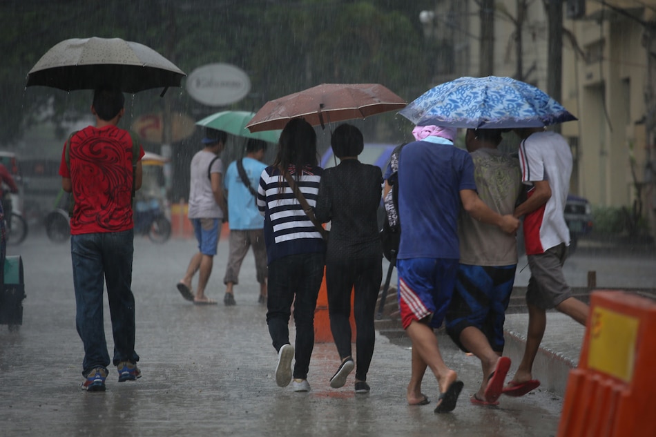
Workers share umbrellas as they walk to work on Friday amid heavy rainfall. 📷: Fernando G. Sepe Jr., ABS-CBN News/file
MANILA – State weather bureau PAGASA reminded the public to prepare not only for dry spells and drought as a result of El Niño that is likely to occur in the coming months, but also for torrential rain as the phenomenon develops close to the rainy season.
Ana Solmoro Solis, chief of PAGASA’s Climate Monitoring and Prediction Section, said the western section of Luzon including Palawan, Panay Islands, and even Metro Manila should brace for heavy rainfall brought about by the southwest monsoon.
The southwest monsoon is pulled towards land by tropical cyclones that develop from hot air in the Pacific Ocean. These cyclones don’t usually make landfall and instead recurve.
“That would mean pwedeng heavy rainfall events, pagbabaha, potential landslides, 'yung vulnerable areas possible 'yun. Sana wag mangyari 'yun pero kailangan maging prepared dahil itong sinasabi natin is based on historical accounts,” she explains.
ADVERTISEMENT
Rainfall forecasts from PAGASA show that above normal rainfall may be experienced in some parts of the country June to September. However, by October more areas will experience rainfall that is below normal.
Solis said local governments should plan ahead and prepare their response to heavy rain saying that some weather events that caused destruction and loss of lives actually happened during an El Niño year. These include Typhoon Milenyo in 2006, Tropical Storm Ondoy and Typhoon Pepeng in 2009.
PAGASA sees the coming El Niño, which has the potential to last until the first quarter of 2024, to be weak to moderate.
Nonetheless, the heavy rains that will be experienced prior to dry spell should not encourage the public to consume water unwisely.
“Ang magiging possible na epekto ng dry spell and drought lalo na sa mga dams sa Luzon ay around October, November hanggang sa first quarter of the following year. 'Yun 'yung paghahandaan na magkakaroon ng kabawasan sa tubig ulan which is next dry season. So 'yun 'yung dapat paghandaan ngayon pa lang,” Solis said.
On Tuesday, the agency issued an El Niño warning which aims to provide guidance in the preparation of sectoral action plans and make early actions before it even occurs.
ABS-CBN is the leading media and entertainment company in the Philippines, offering quality content across TV, radio, digital, and film. Committed to public service and promoting Filipino values, ABS-CBN continues to inspire and connect audiences worldwide.
Our website is made possible by displaying online
advertisements to our visitors. Please consider supporting
us by disabling your ad blocker on our website.
Our website is made possible by displaying online
advertisements to our visitors. Please consider supporting
us by disabling your ad blocker on our website.