Welcome, Kapamilya! We use cookies to improve your browsing experience. Continuing to use this site means you agree to our use of cookies. Tell me more!
34-meter tsunami may hit Indonesia's islands in mega quake: research
34-meter tsunami may hit Indonesia's islands in mega quake: research
Kyodo News
Published Nov 04, 2022 07:48 AM PHT
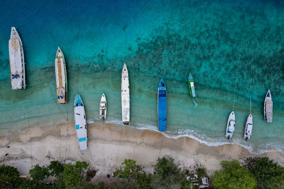
This aerial picture taken on November 22, 2021 shows boats anchored along an empty beach on Gili Trawangan resort island. The coronavirus pandemic has shuttered almost all the resorts and restaurants across Indonesia's Gili Islands, famed for their turquoise waters, sandy beaches, and diverse marine life. Bay Ismoyo, Agence France-Presse
JAKARTA - A tsunami as high as 34 meters could be triggered by an earthquake with a magnitude of 8.9 in and around Indonesia's Java and Sumatra islands, according to a report recently released by Indonesian researchers, although no timeline was given.
The researchers discovered high seismic activity on the southern coast of West Java Province and the southeastern part of Sumatra Island that could unleash a "megathrust" quake, said the report published last Sunday in the journal Natural Hazards.
If a quake of this scale occurs, the tsunami could be comparable to one that followed a devastating quake in 2004.
Aceh Province, also in Sumatra, was struck by a magnitude 9.1 quake and tsunami on December 26, 2004, leaving around 180,000 people dead. It was the deadliest disaster in Indonesian history.
The researchers assessed the height of a potential tsunami using a map of more than 1,000 epicenters with quakes measuring a magnitude of 4 or more based on data from 2009 to 2020.
They said that "magnitude is only one factor in determining the maximum tsunami height." They put the average tsunami height along the coasts of Sumatra and Java at 11.8 meters and 10.6 meters, respectively.
A separate study has shown that a "megathrust" quake southwest of Java may occur once every 500 years.
Indonesia is one of the most active seismic regions in the world, sitting on the Pacific Ring of Fire, where many earthquakes and volcanic eruptions occur.
ABS-CBN is the leading media and entertainment company in the Philippines, offering quality content across TV, radio, digital, and film. Committed to public service and promoting Filipino values, ABS-CBN continues to inspire and connect audiences worldwide.
Our website is made possible by displaying online
advertisements to our visitors. Please consider supporting
us by disabling your ad blocker on our website.
Our website is made possible by displaying online
advertisements to our visitors. Please consider supporting
us by disabling your ad blocker on our website.