Welcome, Kapamilya! We use cookies to improve your browsing experience. Continuing to use this site means you agree to our use of cookies. Tell me more!
Several areas still under storm signals as Paeng moves over West Philippine Sea
Several areas still under storm signals as Paeng moves over West Philippine Sea
Raffy Cabristante,
ABS-CBN News
Published Oct 30, 2022 12:43 PM PHT
|
Updated Oct 30, 2022 05:53 PM PHT
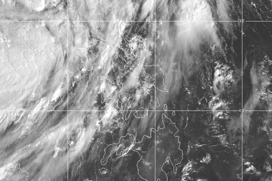
Satellite image courtesy of US National Oceanic and Atmospheric Administration/Himawari-8
Metro Manila remains under Signal No. 1
MANILA — Tropical Storm Paeng (Nalgae) continued to move west northwestward over the West Philippine Sea on Sunday morning but several areas in Luzon and the Visayas will continue to experience moderate to heavy rains, PAGASA said.
In its latest bulletin issued 11 a.m., the state weather bureau said several areas are still placed under tropical cyclone wind signals:
SIGNAL NO. 2
La Union
The central and western portions of Pangasinan (San Fabian, San Jacinto, Mapandan, Santa Barbara, Malasiqui, Bautista, Alcala, Urbiztondo, Mangatarem, Basista, San Carlos City, Calasiao, Mangaldan, Dagupan City, Binmaley, Aguilar, Bugallon, Lingayen, Labrador, Infanta, Dasol, Mabini, Sual, City of Alaminos, Burgos, Agno, Bani, Bolinao, Anda, Bayambang)
The northwestern portion of Tarlac (Camiling, San Clemente, Santa Ignacia, Mayantoc, San Jose, Moncada)
The northern portion of Zambales (Santa Cruz, Candelaria, Masinloc, Palauig, Iba)
SIGNAL NO. 1
Metro Manila
Cagayan including Babuyan Islands
Isabela
Nueva Vizcaya
Quirino
Apayao
Ifugao
Mountain Province
Kalinga
Abra
Benguet
Aurora
Bulacan
Nueva Ecija
Pampanga
The rest of Tarlac
The rest of Zambales
Bataan
Ilocos Norte
Ilocos Sur
The rest of Pangasinan
Batangas
Cavite
Laguna
Rizal
The northern and central portions of Quezon (Lucena City, Pagbilao, Infanta, Tiaong, Unisan, Plaridel, San Antonio, Alabat, Candelaria, Lucban, Sampaloc, Padre Burgos, Sariaya, City of Tayabas, Mauban, Dolores, General Nakar, Perez, Agdangan, Atimonan, Real) including Pollilo Islands
The northern and central portions of Occidental Mindoro (Abra de Ilog, Mamburao, Santa Cruz, Paluan, Sablayan) including Lubang Islands
The northern and central portions of Oriental Mindoro (Naujan, Puerto Galera, Victoria, San Teodoro, Baco, City of Calapan, Pola, Socorro, Pinamalayan, Gloria, Bansud)
Due to Paeng, Zambales, Bataan, Aurora, Pangasinan, Batanes, and the northern portion of Cagayan including Babuyan Islands will continue to experience moderate to heavy rains, PAGASA said.
Metro Manila, Cordillera Administrative Region, CALABARZON, MIMARPOPA, Camarines Provinces, Western Visayas, and the rest of Cagayan Valley and Central Luzon may also have light to moderate with at times heavy rains.
ADVERTISEMENT
"Except in areas with significant antecedent rainfall or those still experiencing persistent heavy rainfall, flooding and rain-induced landslides are likely to slowly subside," PAGASA said.
Paeng was last estimated 225 kilometers west northwest of Iba, Zambales or 240 kilometers west of Dagupan City, Pangasinan.
It had maximum sustained winds of 85 kph near the center and gustiness of up to 105 kph, moving west northwestward at a speed of 25 kph.
Based on PAGASA's latest forecast track, Paeng is forecast to leave the Philippine Area of Responsbility (PAR) Monday morning or afternoon.
It may also reintensify into a severe tropical storm as it moves over the West Philippine Sea in the next 24 hours.
Paeng left at least 48 people killed, 40 injured and 22 missing in the country. More than 932,000 people were affected by the 16th storm to hit the Philippines, the NDRRMC said.
ABS-CBN is the leading media and entertainment company in the Philippines, offering quality content across TV, radio, digital, and film. Committed to public service and promoting Filipino values, ABS-CBN continues to inspire and connect audiences worldwide.
Our website is made possible by displaying online
advertisements to our visitors. Please consider supporting
us by disabling your ad blocker on our website.
Our website is made possible by displaying online
advertisements to our visitors. Please consider supporting
us by disabling your ad blocker on our website.