Welcome, Kapamilya! We use cookies to improve your browsing experience. Continuing to use this site means you agree to our use of cookies. Tell me more!
Tropical depression Obet maintains strength on way to Batanes
Tropical depression Obet maintains strength on way to Batanes
John Gabriel Agcaoili,
ABS-CBN News
Published Oct 21, 2022 10:04 PM PHT
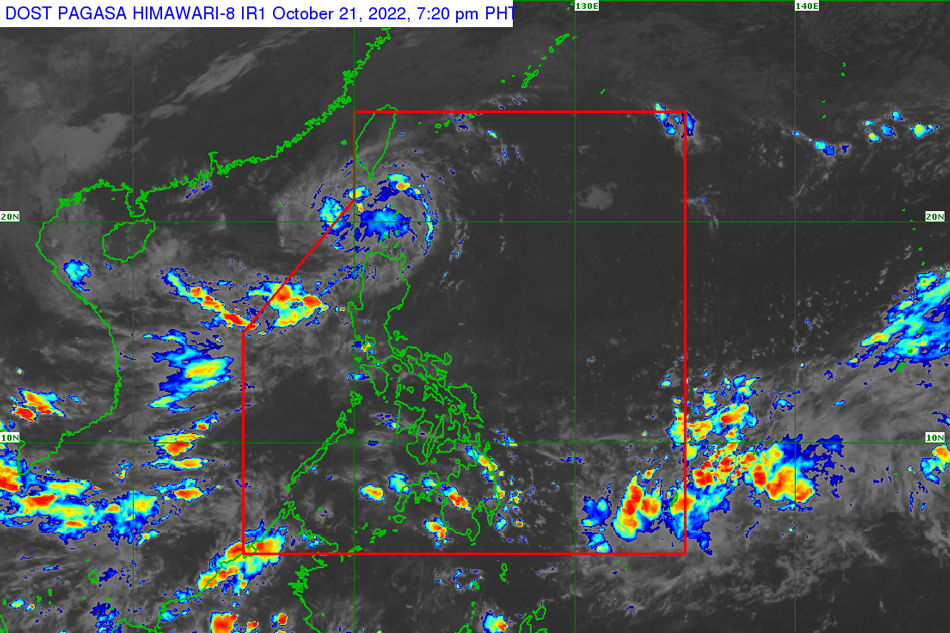
PAGASA image
MANILA — Tropical depression Obet maintained its strength as it continued its way to Batanes, the state weather bureau said Friday night.
In its 8 p.m. weather bulletin, PAGASA said Obet was last sighted over the coastal waters of Basco, Batanes packing maximum sustained winds of 55 kilometers per hour near the center, with 70 kph gusts.
The state weather bureau maintained its placement of Batanes, Babuyan Islands, and the northeastern portion of mainland Cagayan (covering the towns of Santa Ana and Gonzaga) under tropical cyclone wind signal no. 1.
Under this threat level, residents are advised to prepare for strong winds that may cause minimal to minor threat to life and property within the next 36 hours.
PAGASA projected that on Friday night until Saturday early morning, light to moderate with at times heavy rains are possible over Batanes and Babuyan Islands.
"Under these conditions, flooding and rain-induced landslides are likely, especially in areas that are highly or very highly susceptible to these hazard as identified in hazard maps and in localities with significant antecedent rainfall," it said.
PAGASA said Obet is likely to pass over or very close to Batanes on Friday night, before it leaves the Philippine area of responsibility Saturday morning.
It is forecast to gradually intensify and may reach tropical storm category Saturday morning, and is likely to gain more strength once it moves over the West Philippine Sea.
ABS-CBN is the leading media and entertainment company in the Philippines, offering quality content across TV, radio, digital, and film. Committed to public service and promoting Filipino values, ABS-CBN continues to inspire and connect audiences worldwide.
Our website is made possible by displaying online
advertisements to our visitors. Please consider supporting
us by disabling your ad blocker on our website.
Our website is made possible by displaying online
advertisements to our visitors. Please consider supporting
us by disabling your ad blocker on our website.