Welcome, Kapamilya! We use cookies to improve your browsing experience. Continuing to use this site means you agree to our use of cookies. Tell me more!
'Kiko' accelerates, fewer areas under cyclone warning signal
'Kiko' accelerates, fewer areas under cyclone warning signal
ABS-CBN News
Published Sep 05, 2017 01:24 PM PHT
|
Updated Sep 05, 2017 06:36 PM PHT
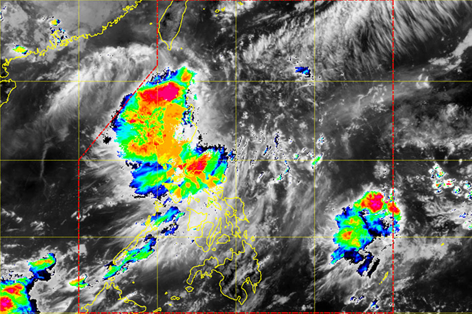
Track of Tropical Depression "Kiko." Photo courtesy of PAGASA Facebook page
MANILA- Fewer areas are under tropical cyclone warning signal no. 1 as tropical depression "Kiko" continues to head towards extreme northern Luzon, state weather bureau PAGASA said.
In its 5 p.m. weather bulletin, PAGASA said Kiko has slightly accelerated and is forecast to move north northwest at 19 kph.
The center of the tropical depression was last spotted at 270 kms east of Calayan, Cagayan at 4 p.m.
It packs maximum winds of up to 55 kph near the center and gustiness of up to 65 kph.
ADVERTISEMENT
Tropical cyclone warning signal no. 1 remains hoisted over Northern Cagayan, including the Babuyan Group of Islands and Batanes. Warning signals placed in other parts of northern Luzon have been lifted.
Kiko is expected to pass northern Luzon Tuesday night and near Batanes Wednesday morning. It is forecast to exit the Philippine area of responsibility Wednesday night or Thursday morning.
Moderate to heavy rains are expected within the 300-kilometer diameter of the tropical depression.
Meanwhile, light to moderate rains and thunderstorms are expected in Metro Manila, Central Luzon, CALABARZON, Bicol region, Eastern Visayas, CARAGA, and Northern Mindanao.
PAGASA also advised fishermen and those with small boats not to venture out to sea over the eastern seaboard of northern and central Luzon due to the weather disturbance.
ABS-CBN is the leading media and entertainment company in the Philippines, offering quality content across TV, radio, digital, and film. Committed to public service and promoting Filipino values, ABS-CBN continues to inspire and connect audiences worldwide.
Our website is made possible by displaying online
advertisements to our visitors. Please consider supporting
us by disabling your ad blocker on our website.
Our website is made possible by displaying online
advertisements to our visitors. Please consider supporting
us by disabling your ad blocker on our website.