Welcome, Kapamilya! We use cookies to improve your browsing experience. Continuing to use this site means you agree to our use of cookies. Tell me more!
PAGASA: Around 15 cyclones may enter Philippine area in second half of 2022
PAGASA: Around 15 cyclones may enter Philippine area in second half of 2022
Ariel Rojas,
ABS-CBN News
Published Jun 29, 2022 05:22 PM PHT
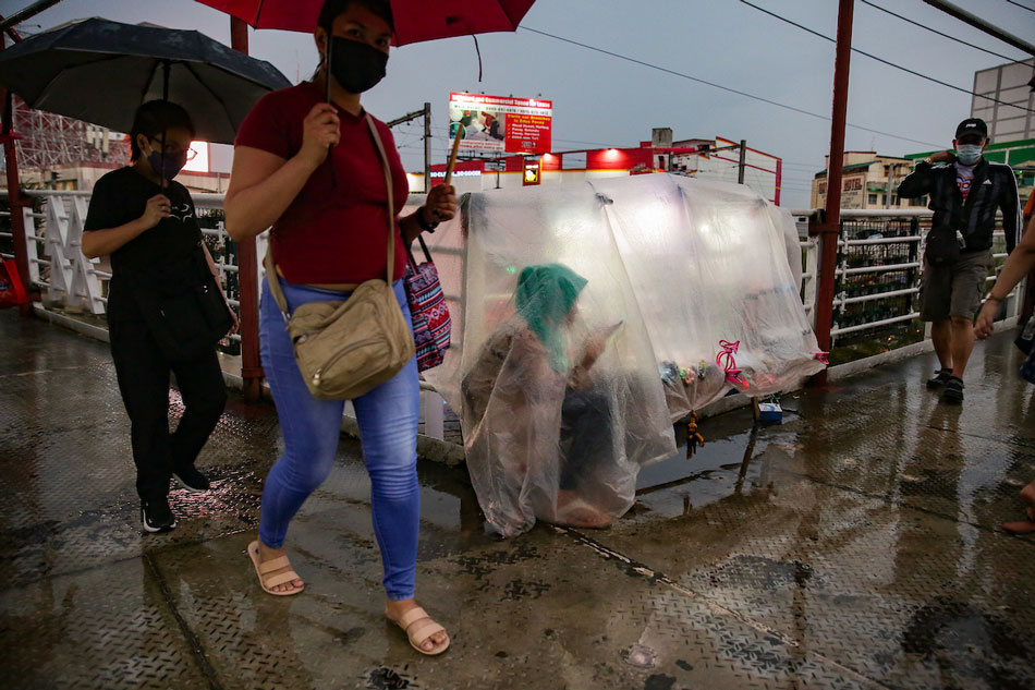
A sidewalk vendor protects herself from the rain using a plastic cover at a footbridge in Pasay City on May 17, 2022. George Calvelo, ABS-CBN News
MANILA — Around 15 tropical cyclones may develop inside or enter the Philippine area of responsibility (PAR) in the second half of 2022, state weather bureau PAGASA said Wednesday.
Two or 3 cyclones are expected to enter PAR in each of the months of July, August, September, and November, said PAGASA climate monitoring chief Ana Solis.
Two to 4 storms are expected in October; and 1 or 2 in December, she said at the 149th Climate Forum.
Tropical cyclones from July to September generally tend to cross Luzon, while some head to Taiwan or Japan, and others recurve to the Pacific Ocean.
ADVERTISEMENT
The next names in the PAGASA tropical cyclone list for 2022 are: Domeng, Ester, Florita, Gardo, Henry, Inday, Josie, Karding, Luis, Maymay, Neneng, Obet, Paeng, Queenie, and Rosal.
In the same forum, the state weather bureau also explained that while La Niña is weakening in the tropical Pacific Ocean, it is forecast to continue until the end of the year.
During La Niña, some parts of the country will have an increased chance of experiencing rainfall.
PAGASA said that for July, below to near normal rainfall conditions will be experienced in most parts of Luzon and Visayas.
Near normal precipitation is expected throughout the country in August and September, while above normal rains are predicted in the last quarter of the year.
Western parts of Luzon and Visayas are currently drenched by the habagat enhanced by tropical depression Caloy. Another weather disturbance is forecast to form over the Philippine Sea east of Luzon within the week.
ABS-CBN is the leading media and entertainment company in the Philippines, offering quality content across TV, radio, digital, and film. Committed to public service and promoting Filipino values, ABS-CBN continues to inspire and connect audiences worldwide.
Our website is made possible by displaying online
advertisements to our visitors. Please consider supporting
us by disabling your ad blocker on our website.
Our website is made possible by displaying online
advertisements to our visitors. Please consider supporting
us by disabling your ad blocker on our website.