WATCH: Super typhoon Lawin slams into northern Luzon | ABS-CBN


ADVERTISEMENT

Welcome, Kapamilya! We use cookies to improve your browsing experience. Continuing to use this site means you agree to our use of cookies. Tell me more!
WATCH: Super typhoon Lawin slams into northern Luzon
WATCH: Super typhoon Lawin slams into northern Luzon
ABS-CBN News
Published Oct 19, 2016 11:07 PM PHT
|
Updated Oct 20, 2016 02:38 AM PHT

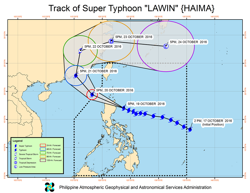
Japan's Himawari-8 weather satellite captured images of the eyewall of super typhoon Lawin (international name Haima) almost at landfall over Cagayan province in northern Luzon on Wednesday night.
Japan's Himawari-8 weather satellite captured images of the eyewall of super typhoon Lawin (international name Haima) almost at landfall over Cagayan province in northern Luzon on Wednesday night.
The images show the super typhoon heading directly toward northern Luzon, where many areas were placed under Tropical Cyclone Warning Signal No. 5.
The images show the super typhoon heading directly toward northern Luzon, where many areas were placed under Tropical Cyclone Warning Signal No. 5.
Lawin, which has been classified as a "violent typhoon," the highest in the Japan Meteorological Agency's categories, was expected to make landfall late Wednesday to early morning Thursday in the Cagayan-Isabela area.
Lawin, which has been classified as a "violent typhoon," the highest in the Japan Meteorological Agency's categories, was expected to make landfall late Wednesday to early morning Thursday in the Cagayan-Isabela area.
State weather bureau PAGASA, in its 8 p.m. advisory, said Lawin has maintained its strength.
State weather bureau PAGASA, in its 8 p.m. advisory, said Lawin has maintained its strength.
ADVERTISEMENT
The eye of the typhoon was last seen 175 kilometers east northeast of Casiguran, Aurora, packing maximum sustained winds of up to 225 kilometers per hour near the center, with gusts of up to 315 kph.
The eye of the typhoon was last seen 175 kilometers east northeast of Casiguran, Aurora, packing maximum sustained winds of up to 225 kilometers per hour near the center, with gusts of up to 315 kph.
It continues to move west northwest at 25 kph.
It continues to move west northwest at 25 kph.
Signal number 5 has been raised over the provinces of Cagayan, Isabela, Kalinga, Apayao, Northern Abra and Ilocos Norte, while the rest of Abra, Ilocos Sur, Mt. Province, Ifugao and Calayan Group of Islands is under Signal number 4.
Signal number 5 has been raised over the provinces of Cagayan, Isabela, Kalinga, Apayao, Northern Abra and Ilocos Norte, while the rest of Abra, Ilocos Sur, Mt. Province, Ifugao and Calayan Group of Islands is under Signal number 4.
The following areas were placed under signal number 3:
The following areas were placed under signal number 3:
- La Union
- Benguet
- Nueva Vizcaya
- Quirino
- Northern Aurora
- La Union
- Benguet
- Nueva Vizcaya
- Quirino
- Northern Aurora
Signal number 2:
Signal number 2:
- Batanes Group of Islands
- Pangasinan
- rest of Aurora
- Tarlac
- Nueva Ecija
- Northern Zambales
- Northern Quezon, including Polillo Islands
- Batanes Group of Islands
- Pangasinan
- rest of Aurora
- Tarlac
- Nueva Ecija
- Northern Zambales
- Northern Quezon, including Polillo Islands
Signal number 1:
Signal number 1:
- Rest of Zambales
- Bulacan
- Bataan
- Pampanga
- Rizal
- Rest of Quezon
- Cavute
- Laguna
- Batangas
- Camarines Norte
- Camarines Sur
- Catanduanes
- Albay
- Metro Manila
- Rest of Zambales
- Bulacan
- Bataan
- Pampanga
- Rizal
- Rest of Quezon
- Cavute
- Laguna
- Batangas
- Camarines Norte
- Camarines Sur
- Catanduanes
- Albay
- Metro Manila
PAGASA also warns of moderate to heavy rain within the 800-kilometer diameter of the typhoon.
PAGASA also warns of moderate to heavy rain within the 800-kilometer diameter of the typhoon.
Lawin is expected to exit the Philippine Area of Responsibility (PAR) Thursday evening.
Lawin is expected to exit the Philippine Area of Responsibility (PAR) Thursday evening.
ADVERTISEMENT
ADVERTISEMENT