Welcome, Kapamilya! We use cookies to improve your browsing experience. Continuing to use this site means you agree to our use of cookies. Tell me more!
Western section of Luzon to first bear brunt of below normal rainfall in 2024
Western section of Luzon to first bear brunt of below normal rainfall in 2024
Raphael Bosano,
ABS-CBN News
Published Dec 20, 2023 08:43 PM PHT
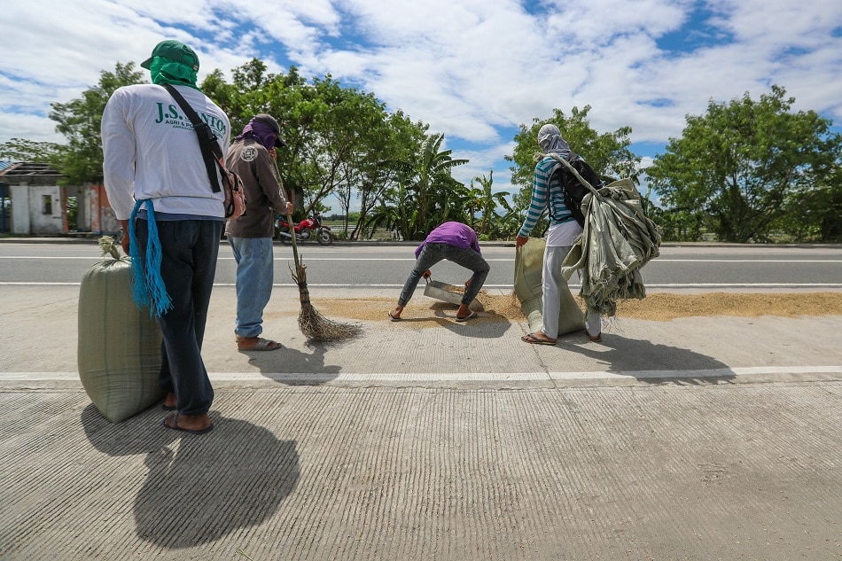
Farmers gather palay as they anticipate Typhoon Rolly’s land fall over the weekend in Laungcupang in La Paz Tarlac in Central Luzon on October 31, 2020. Jonathan Cellona, ABS-CBN News/File.
MANILA – Provinces in the western section of mainland Luzon will be the first to bear the brunt of way below normal rainfall, based on forecasts by state weather bureau PAGASA.
At least 12 areas in Luzon are forecast to receive way below normal showers or a reduction of more than 60% from what it normally gets in January 2024. These are areas in the Ilocos Region, Central Luzon, as well as Palawan.
At this time, most of the country is seen to receive below normal rain which is equivalent to a 20-60% reduction from usual rainfall.
Rainfall conditions are expected to worsen the following month when more than 53 areas, most of which are in Luzon and Visayas, will receive way below normal showers.
This condition will prolong until March and April as the El Niño peaks.
While PAGASA says uncertainty remains high for its forecasts in May and June, it sees near normal rains returning for most parts of the country.
“Generally near normal rainfall conditions sa Luzon and Mindanao area. But the probability of below normal rainfall is still high. Kung mag normal ang onset ng rainy season, ay nakikita pa rin na below normal in western portion of Luzon. The probability of below normal rainfall for June is still high dito sa mga areas na dapat may rainfall na,” said Ana Liza Solis, chief of PAGASA’s Climate Monitoring and Prediction Section.
(Generally, it’s near normal rainfall conditions in Luzon and Mindanao areas. But the probability of below normal rainfall is still high. Even if the onset of the rainy season is on time, we still see below normal rainfall in the western portion of Luzon. The probability of below normal rainfall for June is still high in areas where there should already be experiencing rain.)
As such, the number of dry days is forecast to be between 6-31 days in different parts of the country with Western Luzon seeing the most number of dry days.
The presence of a strong El Niño has increased the likelihood of less rain that could greatly impact the country’s food security, water supply, health, and energy.
In a briefing with palace reporters on Tuesday, Defense Secretary Gilbert Teodoro said that President Ferdinand Marcos Jr. is set to sign an executive order that will reactivate the El Niño Task Force to prepare and put solutions in place to cushion the impacts of the climate phenomenon.
To address the possible impacts of El Niño on water supply, Teodoro says among the short-term interventions of government would be to roll out and fast track permits for “water projects…and infrastructure programs” to make energy supply, programs and infrastructure more secure.
ABS-CBN is the leading media and entertainment company in the Philippines, offering quality content across TV, radio, digital, and film. Committed to public service and promoting Filipino values, ABS-CBN continues to inspire and connect audiences worldwide.
Our website is made possible by displaying online
advertisements to our visitors. Please consider supporting
us by disabling your ad blocker on our website.
Our website is made possible by displaying online
advertisements to our visitors. Please consider supporting
us by disabling your ad blocker on our website.