Welcome, Kapamilya! We use cookies to improve your browsing experience. Continuing to use this site means you agree to our use of cookies. Tell me more!
Metro Manila, Bulacan among top PH areas at risk of climate damage to built environment: report
Metro Manila, Bulacan among top PH areas at risk of climate damage to built environment: report
Rowegie Abanto,
ABS-CBN News
Published Feb 25, 2023 12:54 PM PHT
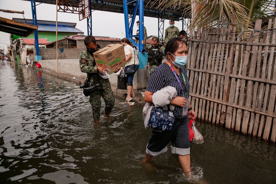
Social workers wade through a flood after the financial aid distribution program in Barangay Tibaguin, Hagonoy, Bulacan on April 20, 2021. George Calvelo, ABS-CBN News/File
Pangasinan tops list, Cebu included
MANILA — Metro Manila and Bulacan are among the top 20 areas in the Philippines at risk of climate damage to the built environment, with Pangasinan topping the list, a new report showed.
Over 80 areas in the country landed in the 2023 Gross Domestic Climate Risk ranking of more than 2,600 territories worldwide by the XDI, an independent specialist in physical climate risk and adaptation analytics.
According to the XDI, the report was based on its projections of damage to the built environment due to the effects of the climate crisis including flooding, forest fires, and sea level rise.
The Philippines, home to 110 million people, with many experiencing poverty, regularly experiences flooding due to rains and storms, averaging 20 per year.
ADVERTISEMENT
Sea levels in the country are also rising 3 times faster than the global average, according to the state weather bureau, citing a joint study with the United Kingdom's Hadley Centre.
Here are the top 20 areas in the Philippines at risk of climate damage, based on the ranking's aggregated damage ratio metric, which measures the annual sum of damage in a state or province.
Pangasinan
Pampanga
Nueva Ecija
Cagayan
Tarlac
Metro Manila
Bulacan
Isabela
Davao del Sur
Leyte
Ilocos Sur
Batangas
Cebu
Oriental Mindoro
Quezon
Laguna
Zambales
Negros Occidental
South Cotabato
Misamis Oriental
The XDI report found that major centers of global trade, manufacturing, and economic activity were "among the most exposed" to extreme weather and climate change.
"Ports, manufacturing centers, and megacities in Asia and large economic powerhouse states in the United States dominate our list of the provinces and territories with the most to lose from accelerating climate change," the XDI said.
The report notes that a high ranking for the aggregated damage ratio metric reflects that states, provinces, and territories, "where extensive built-up areas, coincide with exposure to climate change and extreme weather hazards."
ADVERTISEMENT
"Larger territories tend to be higher in this ranking because they have a greater extent of built-up areas," it added.
The XDI's analysis, it said, does not include the social, environmental, and economic effects of the climate crisis such as water shortage and agricultural impact.
In a study conducted by 2 German institutions last year, the Philippines emerged as the most disaster-prone country in the world.
ABS-CBN is the leading media and entertainment company in the Philippines, offering quality content across TV, radio, digital, and film. Committed to public service and promoting Filipino values, ABS-CBN continues to inspire and connect audiences worldwide.
Our website is made possible by displaying online
advertisements to our visitors. Please consider supporting
us by disabling your ad blocker on our website.
Our website is made possible by displaying online
advertisements to our visitors. Please consider supporting
us by disabling your ad blocker on our website.